The west face of Bare Mt. from #95. A marble quarry and the town of Carrara were here from 1913 to 1925. More enduring is the Carrara Formation which has something to do with shale, limestone, and trilobites.
Bare Mt.
The west face of Bare Mt. from #95. A marble quarry and the town of Carrara
were here from 1913 to 1925. More enduring is the Carrara
Formation which has something to do with shale, limestone, and trilobites.
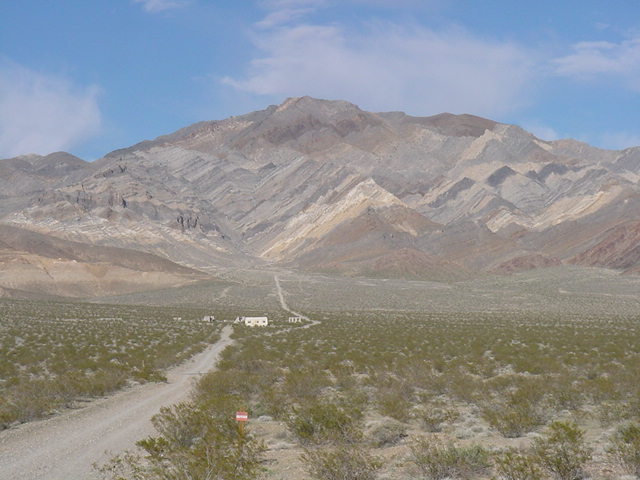
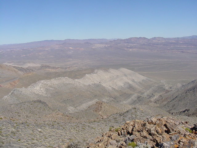
The approach route up the NE canyon. The Bare Mt. climb was the most strenuous
in the Beatty region, taking 7 hours from truck to summit to truck. Memorizing
the ascent route on the way up is a necessity for getting back down.
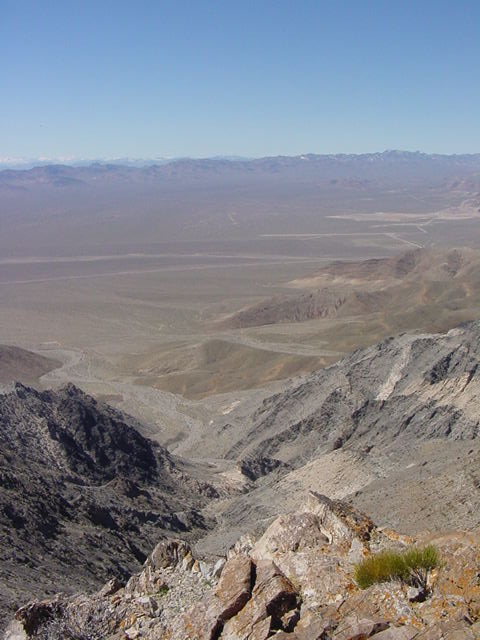
SW from Bare Mt. looking across the Armagosa Desert to the Funeral Mts. on
the left, the Grapevine Mts. on the right, and the Cottonwood Mts. in the
distance.
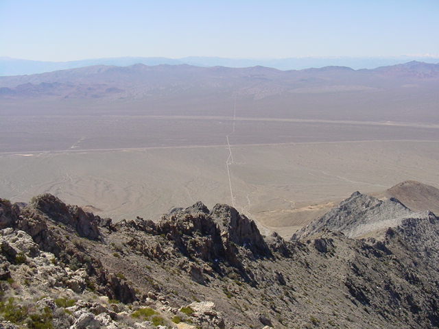
South to Armagosa Valley and the Armagosa Range.
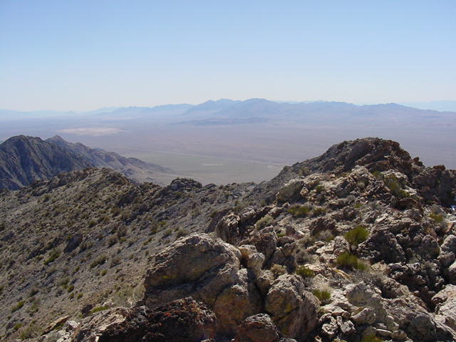
East to Yucca Mt. and the
nuclear repository.