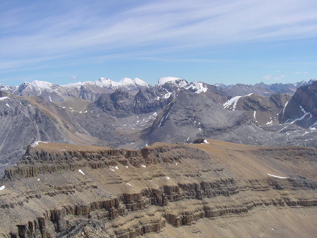
Southeast to Dolomite Peak and Mt. Hector.
Faintly visible on the right skyline is Mt. Assiniboine
100 kilometers to the southeast.
Cirque Peak 9820'
Southeast to Dolomite Peak and Mt. Hector.
Faintly visible on the right skyline is Mt. Assiniboine
100 kilometers to the southeast.
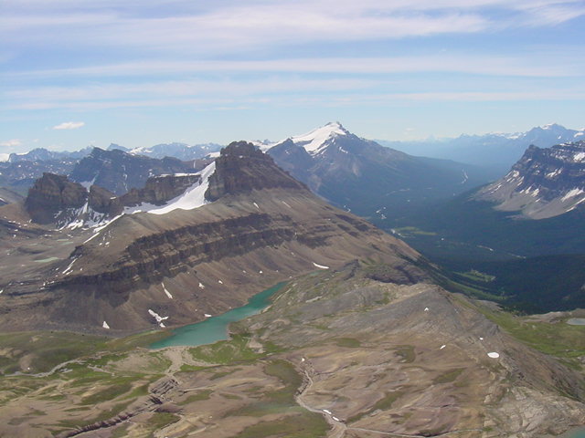
South to Bow Peak. The view shows the ascent route and
approach hike all the way down to the Icefields Parkway.
Kane's ascent route suggests hiking up scree to gain the
south ridge but I used the rocky outcrop, observing the
practice of "ascending on rock, descending on scree."
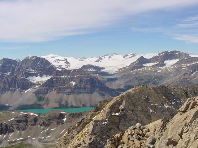
Southwest to Bow Lake and the Wapta Icefield.
Mt. Jimmy Simpson on the right and Crowfoot Mt. on the left.
Northeast to Bobac Mt.
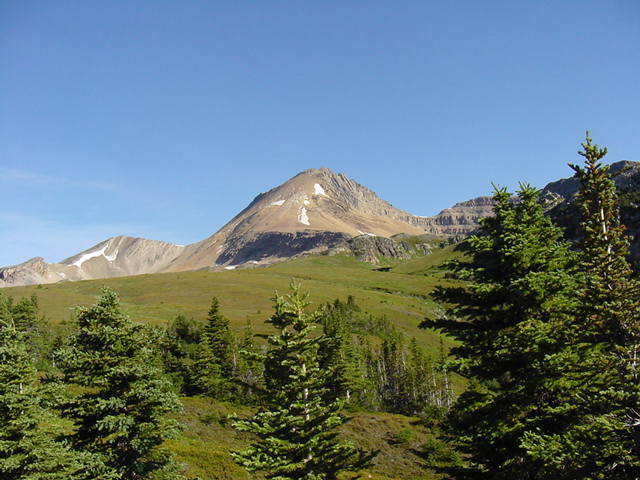
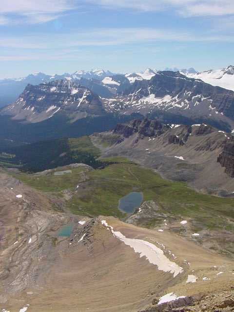
NW to Cirque Peak as seen during the approach hike.
Cirque Peak is located in Banff National Park about 35 km SE
of Saskatchewan Crossing and 35km NW of Lake Louise.
Alan Kane's "Scrambles in the Canadian Rockies" and a complete
set of Gem Trek maps give the peakbagger all the information
needed for a trip to the Canadian Rockies.