NE to the east "horn" and lower summit
Mt. Williamson
Views from the summit of
Mt. Williamson 14,375' , California's
second highest mountain.
NE to the east "horn" and lower summit
South to Whitney
West to Mt. Tyndall 14,018'
From the Shepherd Pass trailhead to summit and back to trailhead
took 6 days. From a camp in the Williamson Bowl getting to the
summit via the west face took 2 hours. No climbing gear is needed.
There is a 20 foot third class section requiring some concentration
to down climb but other than that it is all hiking. The west face
seemed to be impossible vertical scree at first sight but it leaned
back nicely when I walked up to it. This is a good example of
foreshortening, lack of stereoscopic vision for greater distances.
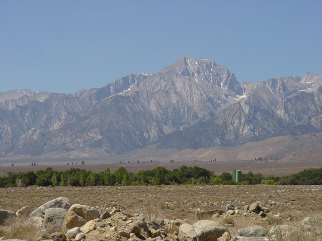
The 2 mile high north face of Mt. Williamson as seen from
#395, a couple miles north of Independence .
![]()